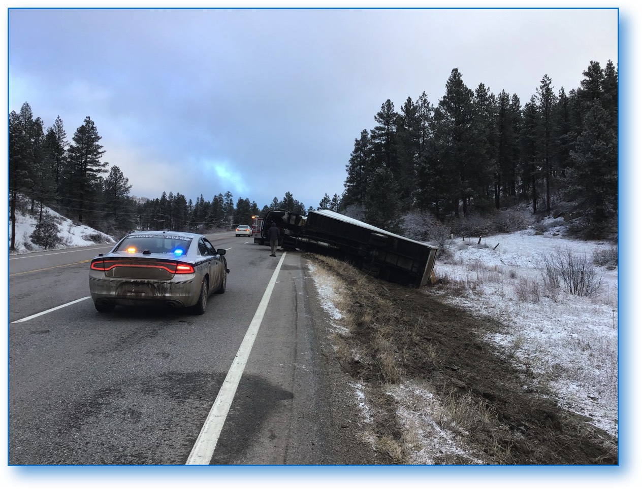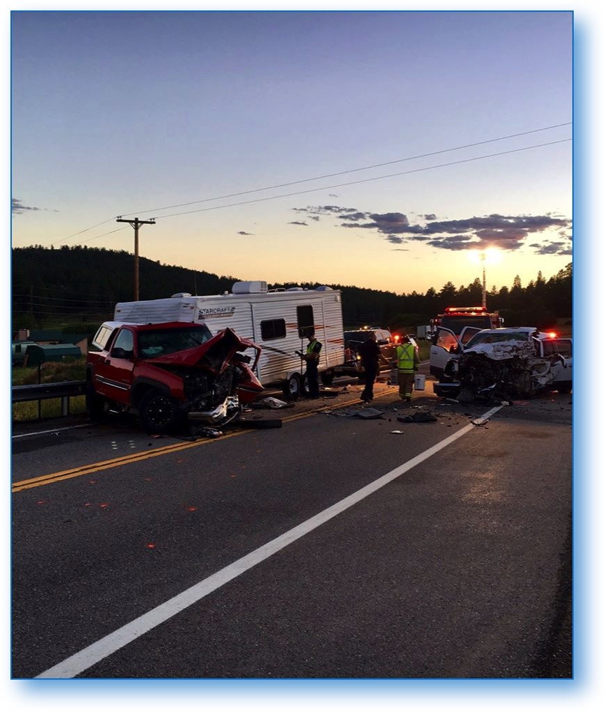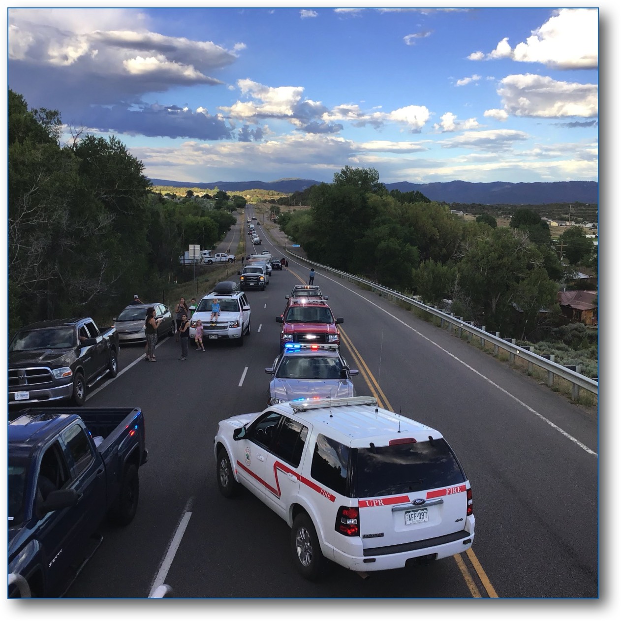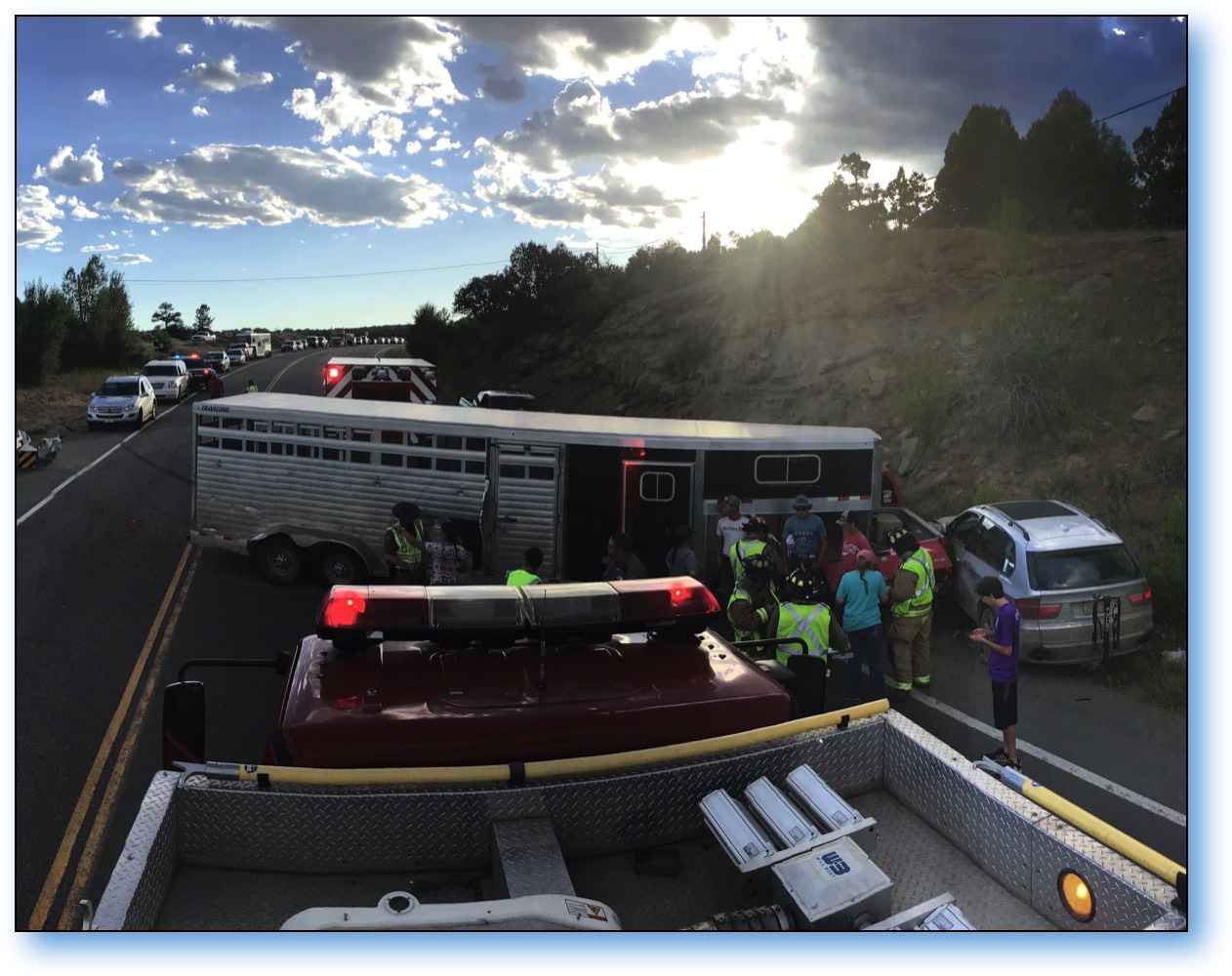
The Upper Pine River Fire Protection District has received a grant from the Highway Traffic Safety administration to create a safety plan for US Highway 160 from the Continental Divide at Wolf Creek west to the Four Corners marker at the border of Arizona, New Mexico, and Utah.
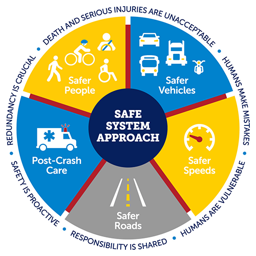
The Safety plan is required to address the five (5) pillars of the Road Safety Strategy:
1) Road Safety Management,
2) Safer Vehicles,
3) Safer Road Users,
4) Post-Crash Response, and
5) Safer Driving Environments.
These five (5) pillars have proven to achieve a comprehensive view of road safety in the United States while providing a conceptual framework to our road safety work.
Hwy 160 Safe Streets Project Ideas
• Separated bicycle lanes and improved safety features for pedestrian crossings.
• Rumble strips, wider edge lines, flashing beacons, and better signage along high-crash rural corridors.
• Conducting speed management projects.
• Safer pedestrian crossings, sidewalks, and additional lighting for people walking, rolling, or using mobility assistive devices.
• Addressing alcohol-impaired driving along key corridors through education, outreach, and publicized sobriety checkpoints on weekends and holidays.
• Creating safe routes to school and public transit services through multiple activities that lead to people safely walking, biking, and rolling in underserved communities
This website has been developed to collect your opinions as to what Safe Street Projects you would like to see in our area (CDOT Region 5). Please take 2-3 minutes to fill out this anonymous survey. You information will be used to to submit suggestions on how to improve safety along the US 160 Corridor
All of the following Colorado Crash Data Sets are set to show statistics for the entire State of Colorado. To view Region 5, which includes Cortez, Mancos, Durango, Bayfield, and Pagosa Springs, select the "CDOT Region" drop-down box (in the left column), de-select "All", and select "Region 5". All the data is active and can be manipulated through this window.
Region 5 Crash Fatalities - Page will Scroll Up/Down & Left/Right
Region 5 Occupant Data - Page will Scroll Up/Down & Left/Right
Region 5 Non-Motorist Fatalities 2010 - Present - Page will Scroll Up/Down & Left/Right
